If you’re a resident, developer, researcher, or simply curious about the urban landscape of Washington DC, accessing the city’s planning maps online is now more convenient than ever. These maps provide vital information about zoning districts, land use patterns, property boundaries, and upcoming development projects in the nation’s capital.
Thank you for reading this post, don't forget to subscribe!Why Access DC City Planning Maps?
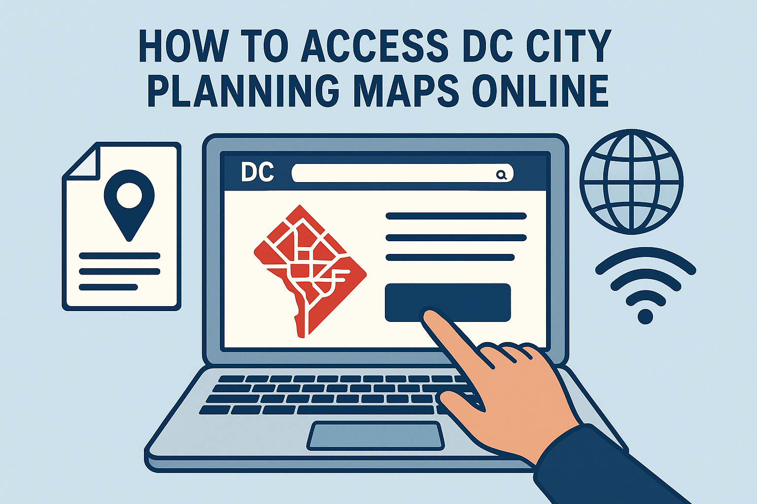
Online planning maps are useful for:
- Viewing zoning classifications
- Understanding permitted land uses
- Exploring redevelopment plans
- Researching historical and environmental overlays
- Checking property boundaries or adjacent projects
Whether you’re planning a renovation, buying property, or engaging in civic planning, these tools help inform better decisions.
Main Points:
- Official Source: Use the DC Office of Planning’s official mapping portals.
- Zoning Map Tool: Interactive platform showing zoning codes, overlays, and use permissions.
- Property Viewer: Explore parcel-level information across the city.
- Future Land Use Maps: Access data related to DC’s Comprehensive Plan.
- Public Access: All tools are free to use with no login required.
Steps to Access the Maps Online:
- Visit the DC Office of Planning Website
Go to the official planning site at: https://planning.dc.gov
- Navigate to the ‘Maps & Data’ Section
This section includes all public-facing GIS tools and planning documents. - Choose the Mapping Tool You Need
- Zoning Map Tool: For zoning and land use regulations
- Property Viewer: For parcel data, ownership, and boundaries
- Historic Preservation Map: For landmarks and protected buildings
- Comprehensive Plan Maps: For long-term development goals
- Use Search or Zoom Features
Enter addresses, intersections, or scroll/zoom to explore detailed layers. - Access Reports or Download Data (Optional)
Most tools allow exporting reports or maps for personal or professional use.
Benefits of Using the Online Planning Maps
- Transparency: Publicly accessible, official government data
- Convenience: Explore maps from any device, anytime
- Accuracy: Real-time updates and official records
- Planning Support: Helps with applications, permits, or neighborhood research
Final Thoughts
Accessing DC city planning maps online gives you insight into how the city is organized and evolving. Whether you’re involved in construction, policy, or just want to understand your neighborhood better, these digital tools are invaluable and freely available.
Be sure to visit the DC Office of Planning’s official site regularly for updates and new features.